
Portable drone detection equipment
Category:
Key Words:
Portable drone detection equipment
Drone Detector
- Product Detail
- parameter
-
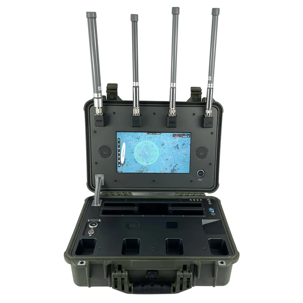
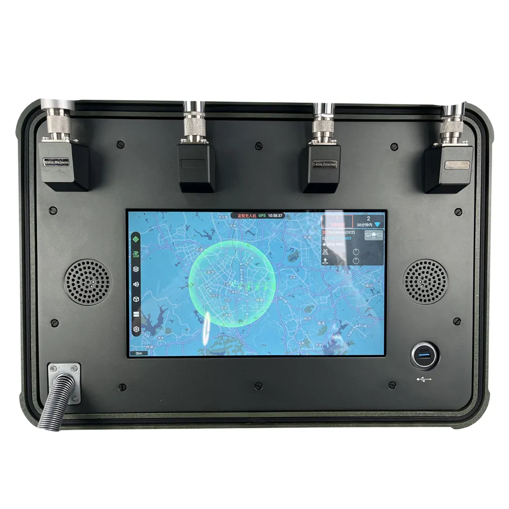
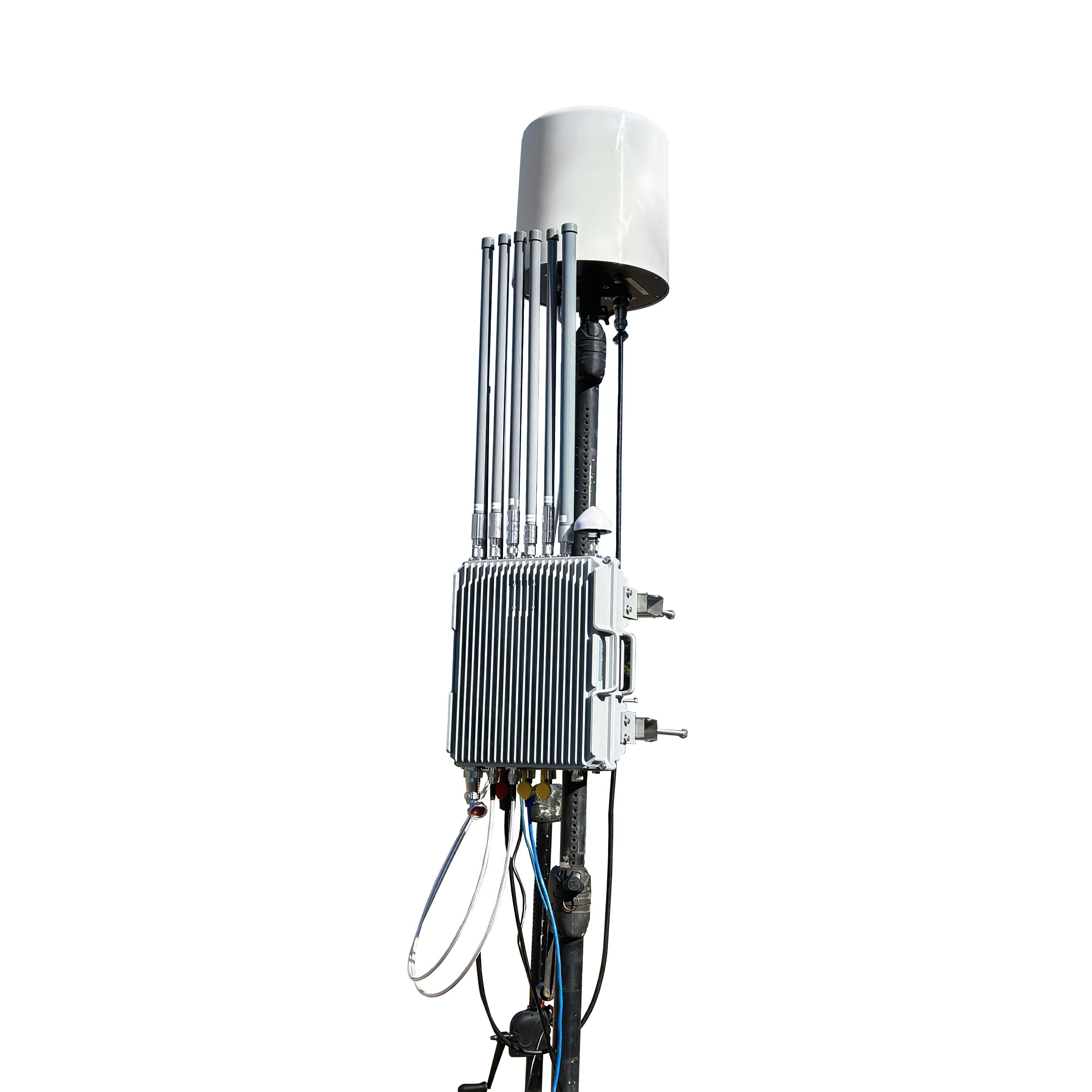
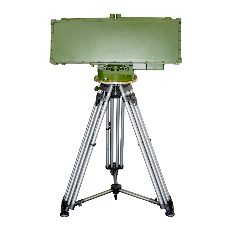
The UAV detection and direction finding integrated system adopts spectrum technology to solve the detection, identification, direction finding, and orientation of civilian UAVs. At the same time, the real-time position of the target UAV and the pilot is determined, and the flight trajectory of the UAV is tracked in real time. It can be used in aviation airports, prisons, important industrial facilities, national defense, public security areas, sports venues and major events.
The Remote ID technology is the fourth-generation UAV defense method. This technology uses an antenna array to monitor the radio environment in the defense area, and continuously collects radio signals in the defense area for 24 hours. The signal is transmitted to the signal processing unit to accurately demodulate and decode the UAV signal, and then the analyzed UAV signal is transmitted to the data server through the network, and the data server performs unified management of the received UAV signal to UAVs flying illegally and privately carry out interference countermeasures.Packing List
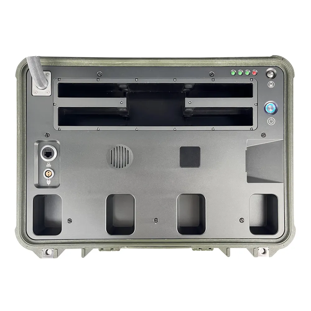
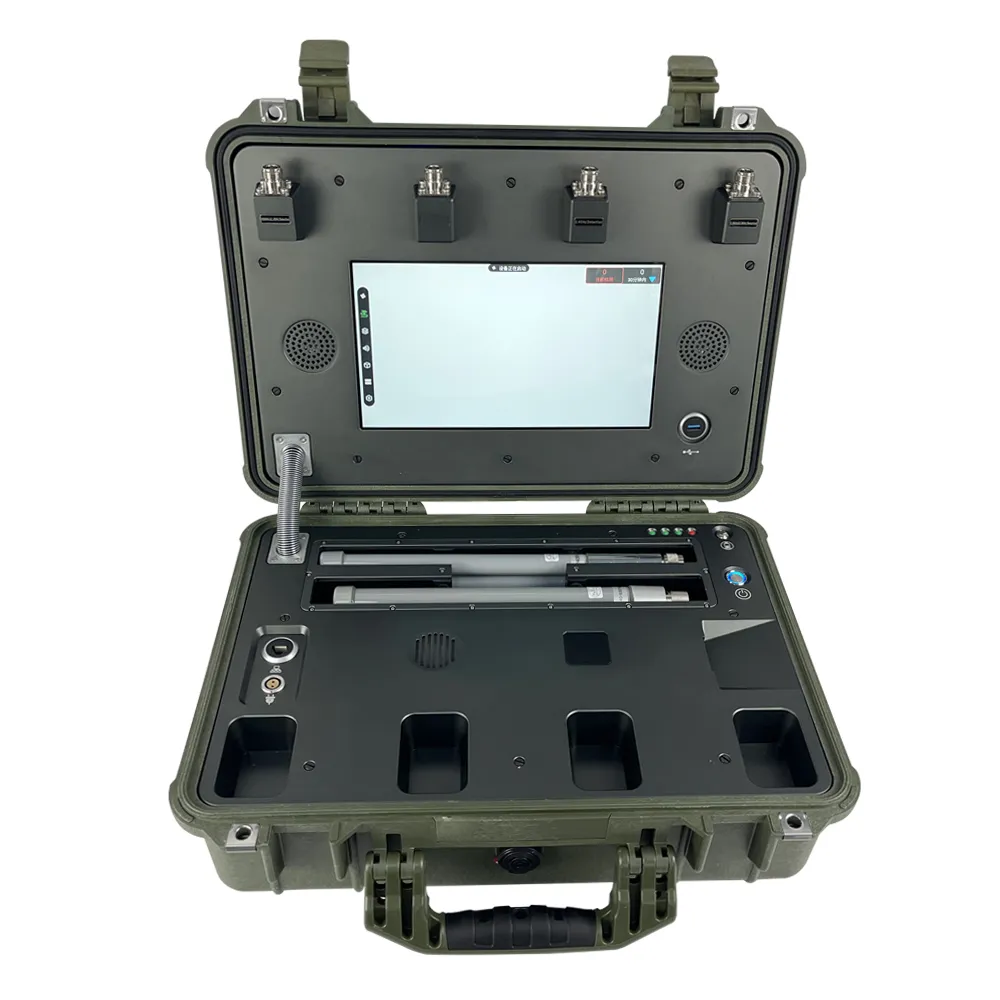
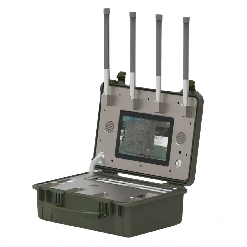
Name Quantity Description Mainhost 1 For radio signal processing, and control terminal display Radio receiving antenna (rod shape) 4 For radio signal reception Power Cable 1 For power charging and direct AC power supply Packing Box 1 For packing Note: please deploy the equipment at outdoor environment, and connect the antennas with the radio processing unit according to the physical identification.
Function Description Passive detection The system only passively receives and does not emit any electromagnetic signals, and can detect the drone model and its electronic fingerprint Accurate recognition Can accurately identify different drones of the same brand, model, and frequency band Precise localization A singlesystem can realize the uav target position indication(has limitation on models supported) Black & White List The black and white list can be marked with one click, and the black-flying droneswill bealarmed, and the white-listed drones will not be interfered. Full model library Supports the full range of DJI, mainstream brands in the market and DIY drones, covering more than 98% of mainstream models in the market.(for detection, not for direction finding) Direction finding models New DJI drones, and some others
Patch tracking With the function of multi-target trajectory tracking, and multiple drones can be displayed in different colors when detected at the same time; Invasion alarm When the device detects a drone invasion, it will alarm by sound and light; Pilot positioning It can accurately determine the position of the UAV (the remote control) and indicate the corresponding location; Intelligent platform Android OS, with finger touch to operate. -
-
Anti interference Module
- Elements
- Bands
-
Applications
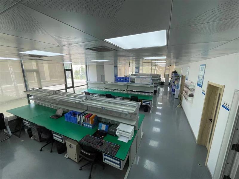
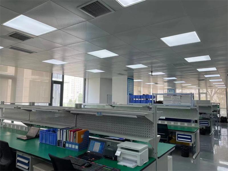
Factory Environment
Cinofiber will continue to be a leader in the optical communication industry, providing customers around the world with more stable, reliable, and high-quality products and services.
Questions And Answers
Certificate Of Honor
Related Products


